Rating: 7.8/10.
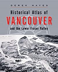
Historical Atlas of Vancouver and the Lower Fraser Valley by Derek Hayes
Atlas containing about 350 maps of Vancouver and the surrounding regions from the first European settlements until about 2000. Vancouver is a relatively young city: it was still covered in dense forest as late as 1885 but rapidly grew into a major city within a decade.
The map format is different from what I usually read, but lets you visually see the changes to cultural attitudes and macroeconomic activity and its impact on people’s lives, for example, the shift of primary mode of transportation from water to rail then to automobiles. The region first developed around the Fraser river (first settlements were New Westminster, Langley, Chilliwack, all on the Fraser). Rail became the dominant form of transport in the 1880s and Vancouver came into existence when it was decided that the terminus of the railway would be located there. A few decades later, railways declined in importance relative to automobiles, visible in the highway infrastructure built during this period (fortunately, Vancouver avoided highways through its downtown core).
Some maps were future plans that didn’t exist yet. Real estate speculation was popular in Vancouver since the beginning, and oftentimes plans were drawn of empty land to sell, then developed later; these maps tended to over-emphasize features to be attractive to the buyer. A lot of maps were proposals that never materialized, giving an alternate history of what could’ve happened. Overall, this collection of maps is excellent for understanding local history.


